What can happen when a city turned its attention to its watershed?
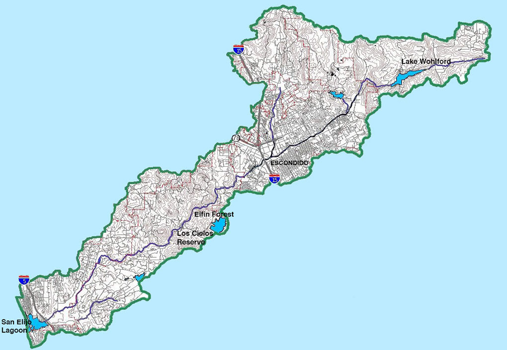
Currently much of Escondido Creek is hidden behind chain link fences and the original creek bed obscured by a cement channel. This project is an invitation to look beyond the fence and contemplate the changing nature of the ecology not only the Escondido Creek Watershed, but of the entire San Diego Region, and to engage in dialogue around the future of the region.
Click on the exhibition tab above, to view the entire installation, "Daylighting Escondido
Creek Watershed," created for Public Address's exhibition, DesEscondido: No Longer
Hidden, that was on view at the California Center for the Arts, Escondido, fall 2018.
As part of the exhibition, one tree stump held a touch screen where the rings of an oak
tree living along the creek in Escondido were diagrammed in accordance with projections
of future climate based on two scenarios of green house gas emissions, the higher
"business as usual scenario" (RCP 8.5) and the lower "enlightened government
scenario" (RCP 4.5). Click on the other tabs above, to explore these tree ring
diagrams for Escondido and other areas in San Diego County.
From each tree ring diagram, click on the red dots
to learn more about events that have occurred or
might occur in a given year.
.
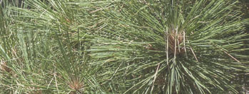
To learn more about the impacts of climate change on San Diego as a whole, explore the Listen to the Trees website about coastal Torrey pines and Jeffrey Pines growing in the Laguna Mountains, which is included in the menu above. The scales and type of information for each of the tree differs.
More events that could occur will be added periodically based on view input.
Come back and see!
This page is designed to be viewed on a computer. If text overlaps,
pull right corner to enlarge screen.
Daylighting Escondido Creek Watershed